
Professional Utility Locating & Mapping Services in South Carolina
Professional utility locating and mapping services across South Carolina, helping you identify underground utilities accurately, safely, and efficiently.

ABOUT US
Reliable
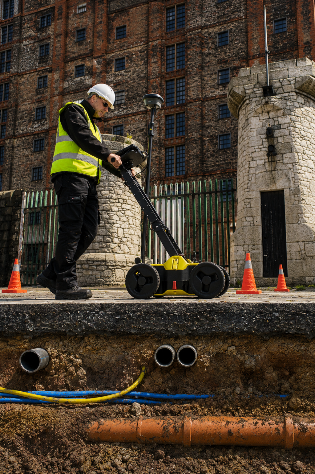
At Utility Locating & Mapping South Carolina, we provide reliable and accurate underground utility locating and mapping services for residential, commercial, municipal, and construction projects. Our goal is to help property owners, contractors, and project managers identify buried utilities before excavation, drilling, or construction work begins.
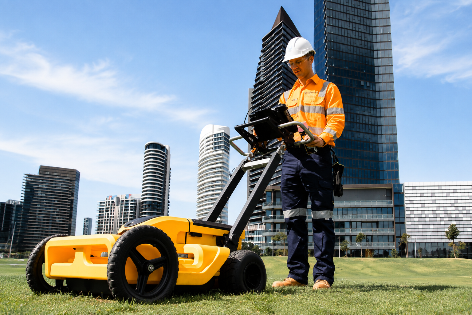
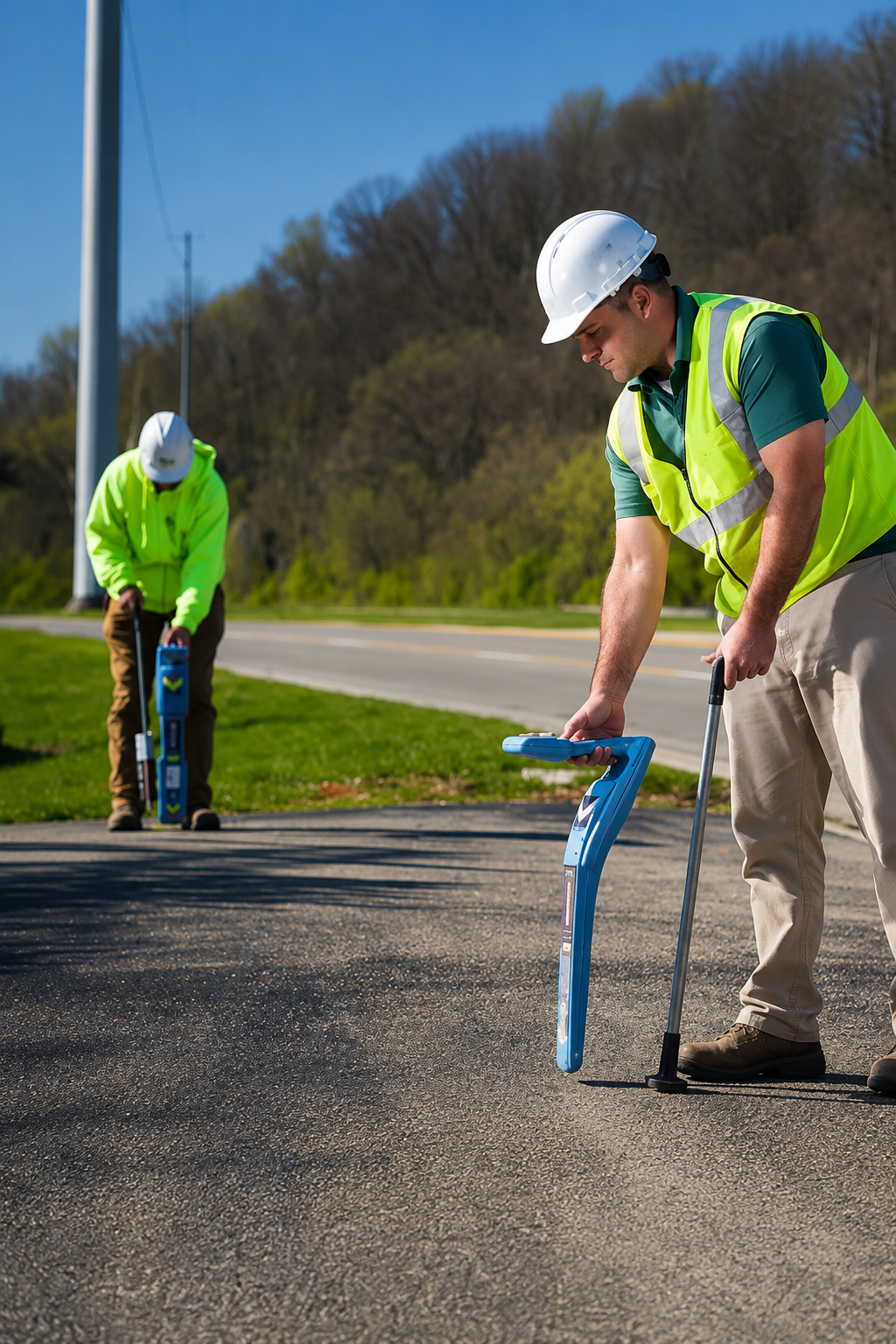
Using advanced technologies such as Ground Penetrating Radar (GPR), electromagnetic locating, GPS, and GIS mapping, we help locate and document underground pipes, cables, conduits, and other hidden infrastructure. Our professional approach improves project safety, accuracy, and efficiency while helping reduce the risk of costly utility damage and unexpected delays.
We proudly serve clients throughout South Carolina, delivering dependable support for projects of all sizes. Whether you need private utility locating, utility mapping, concrete scanning, GPR scanning, or utility marking, our team is committed to providing clear, detailed, and practical information that helps you plan and complete your project with confidence.
Our Services
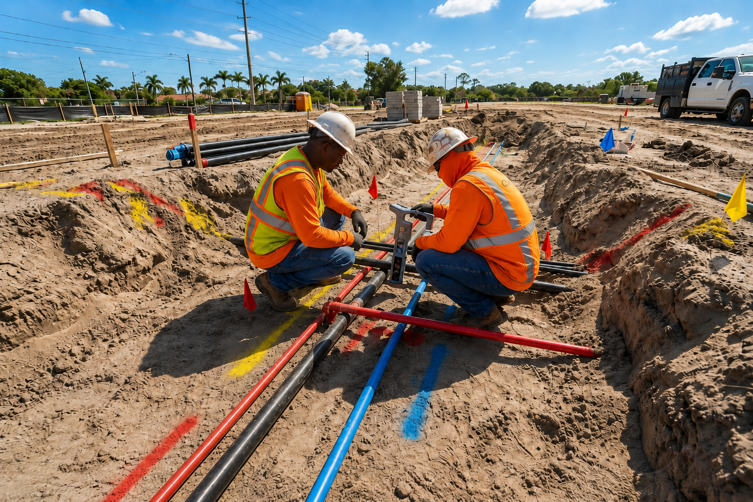
Locate privately owned underground utilities that may not be identified by public locating services, helping reduce damage risks and improve safety before digging or construction begins.
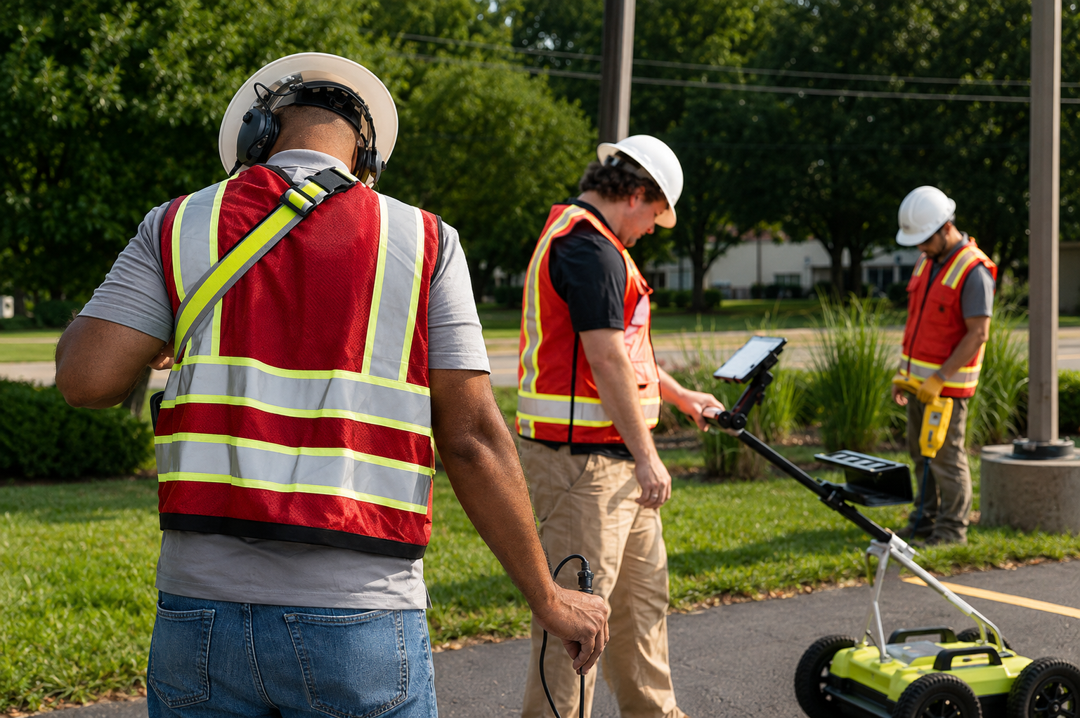
Clearly mark the approximate locations of underground utility lines and infrastructure on-site to help contractors and property owners plan excavation and construction work more safely.
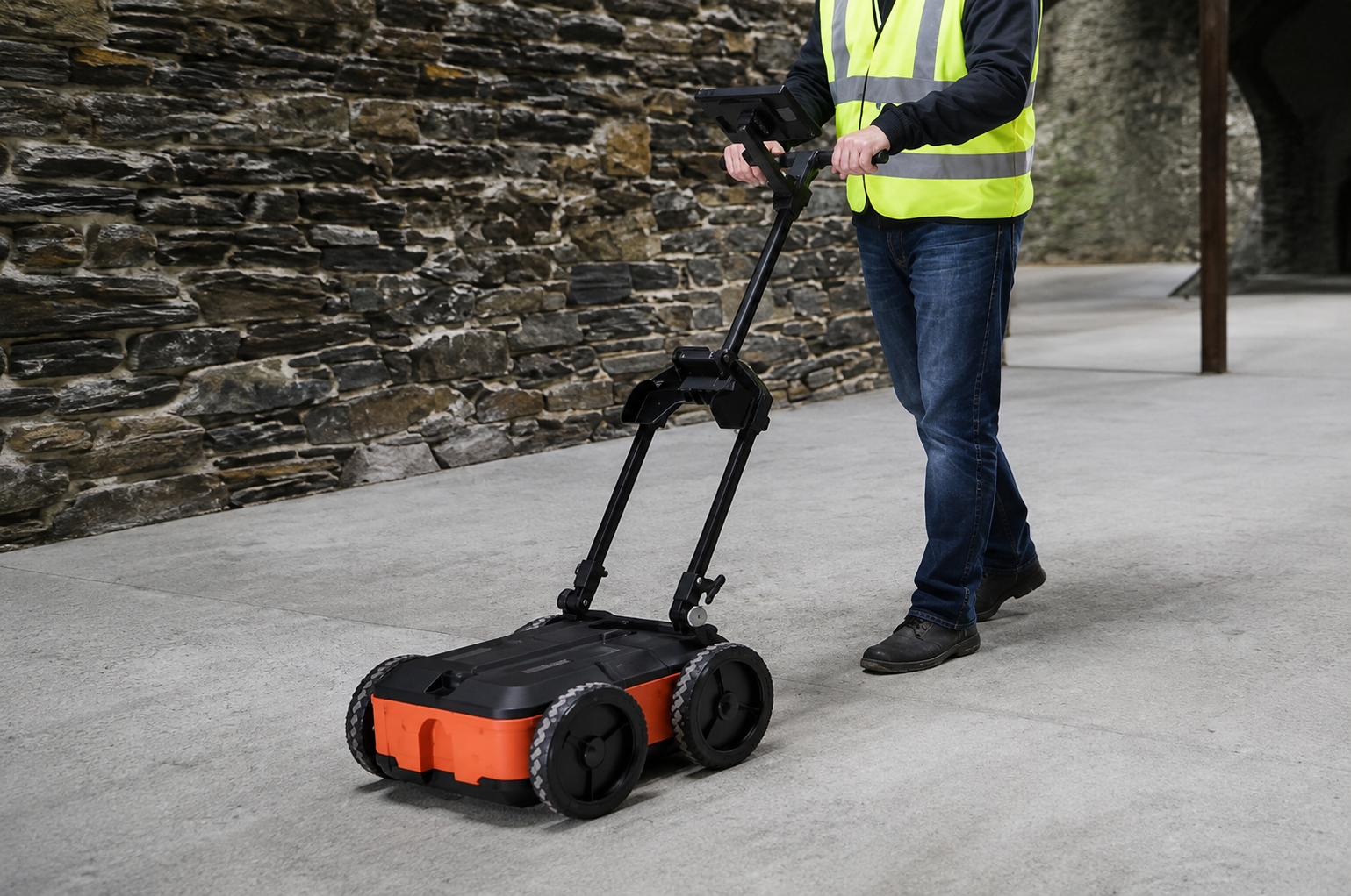
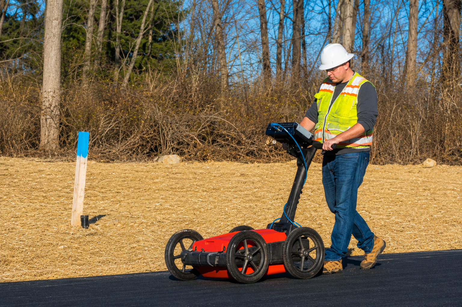
Our Ground Penetrating Radar scanning helps detect subsurface utilities, objects, voids, and structural features, providing valuable information before excavation, drilling, or construction work.
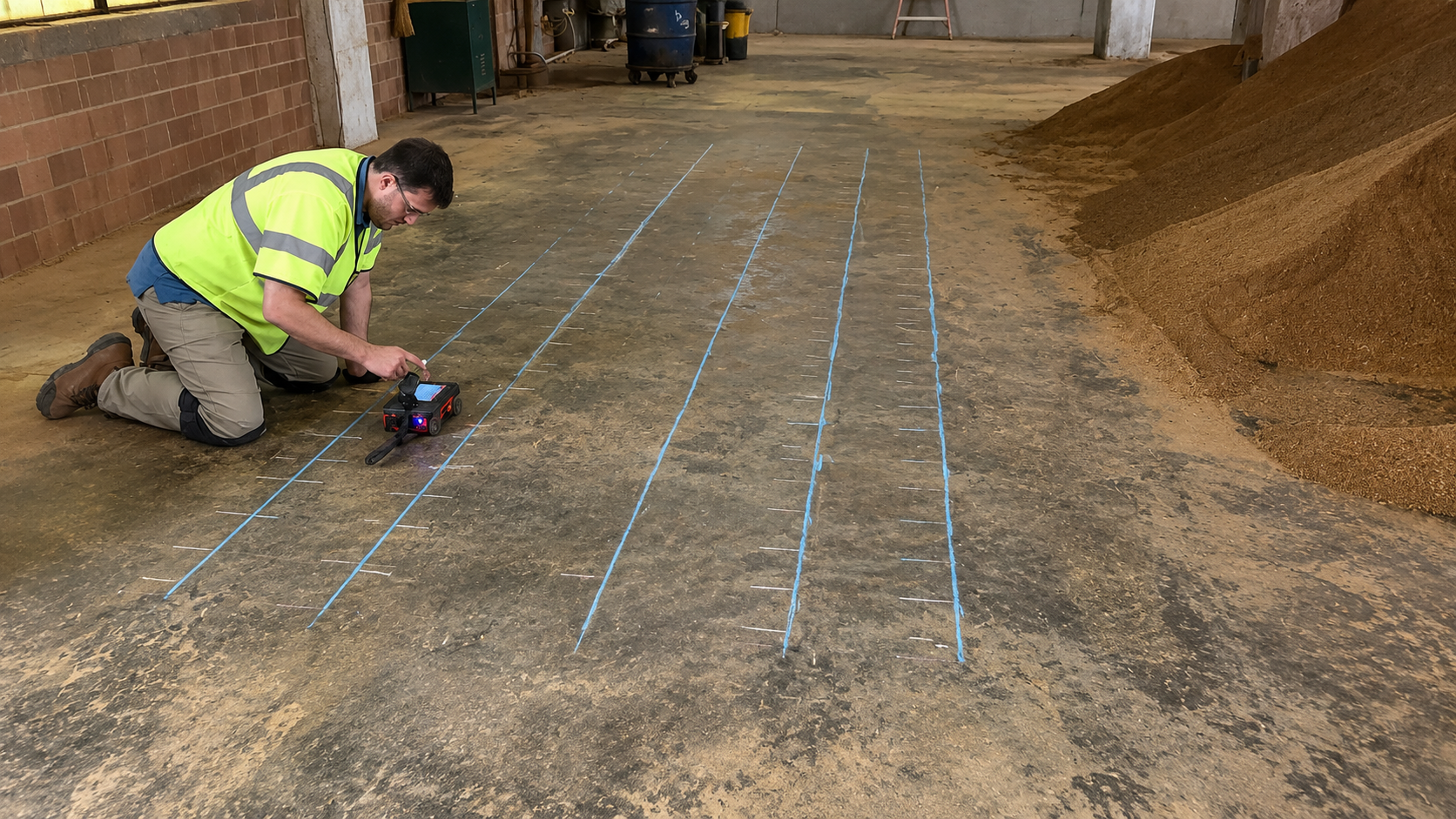
Use advanced scanning methods to detect rebar, post-tension cables, conduits, pipes, and voids inside concrete before cutting, drilling, coring, or other structural work begins.
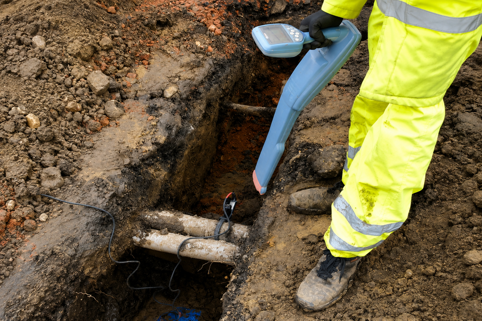
Identify and document buried utility lines, pipes, cables, and conduits to improve site awareness, reduce excavation risks, and support safer construction and infrastructure projects.
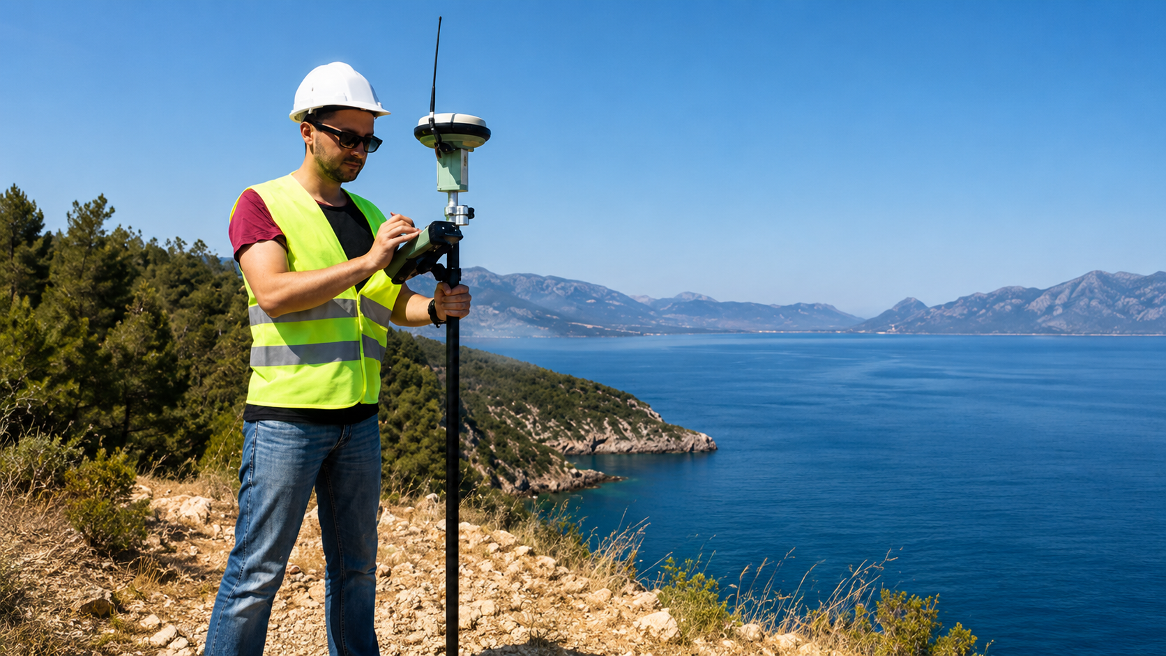
Accurately map underground utilities using GPS and GIS technology to create clear, organized location data that supports planning, maintenance, construction, and future site development.
The Process
Our Simple 3 Step Process

Contact Us
Start by completing the 'Get a Free Quote' form on our website to share your needs with us so we can take care of you.

Schedule Your Estimate
Next, we'll arrange a property visit at a time that works for you to provide an in-person estimate for your needs.

Get The Job Done
After you approve our estimate, we'll schedule a date to complete the job. Our team will work hard to exceed your expectations!
photo gallery
See Why Our Customers Love Us
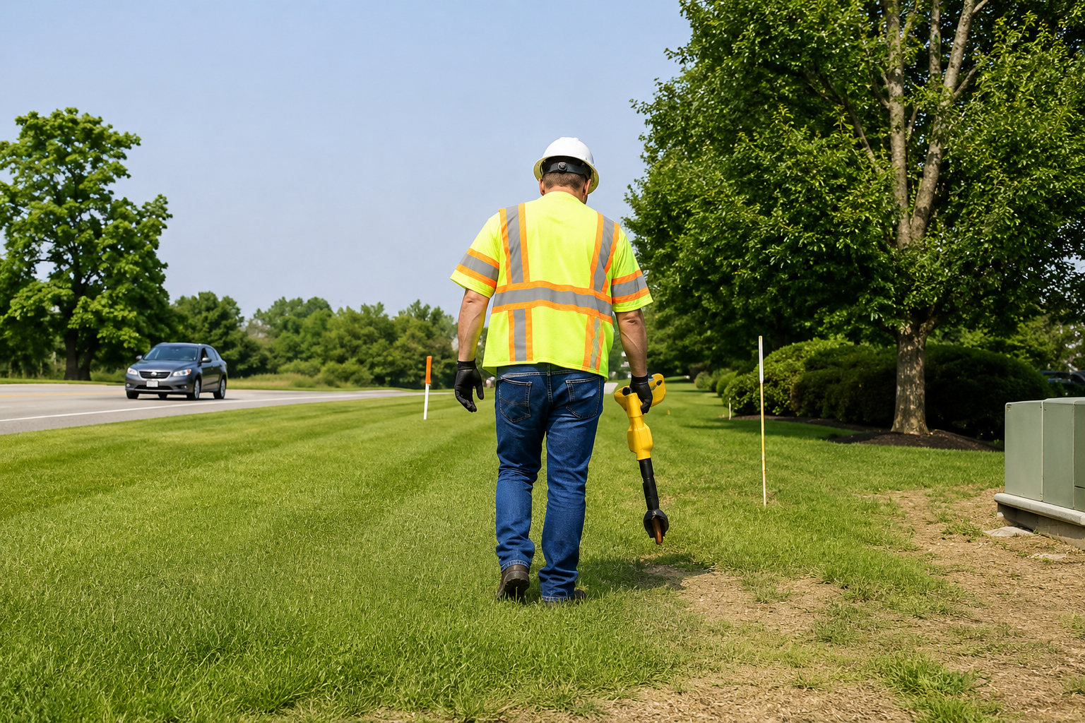
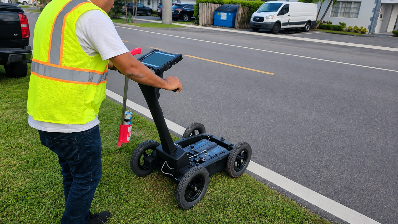
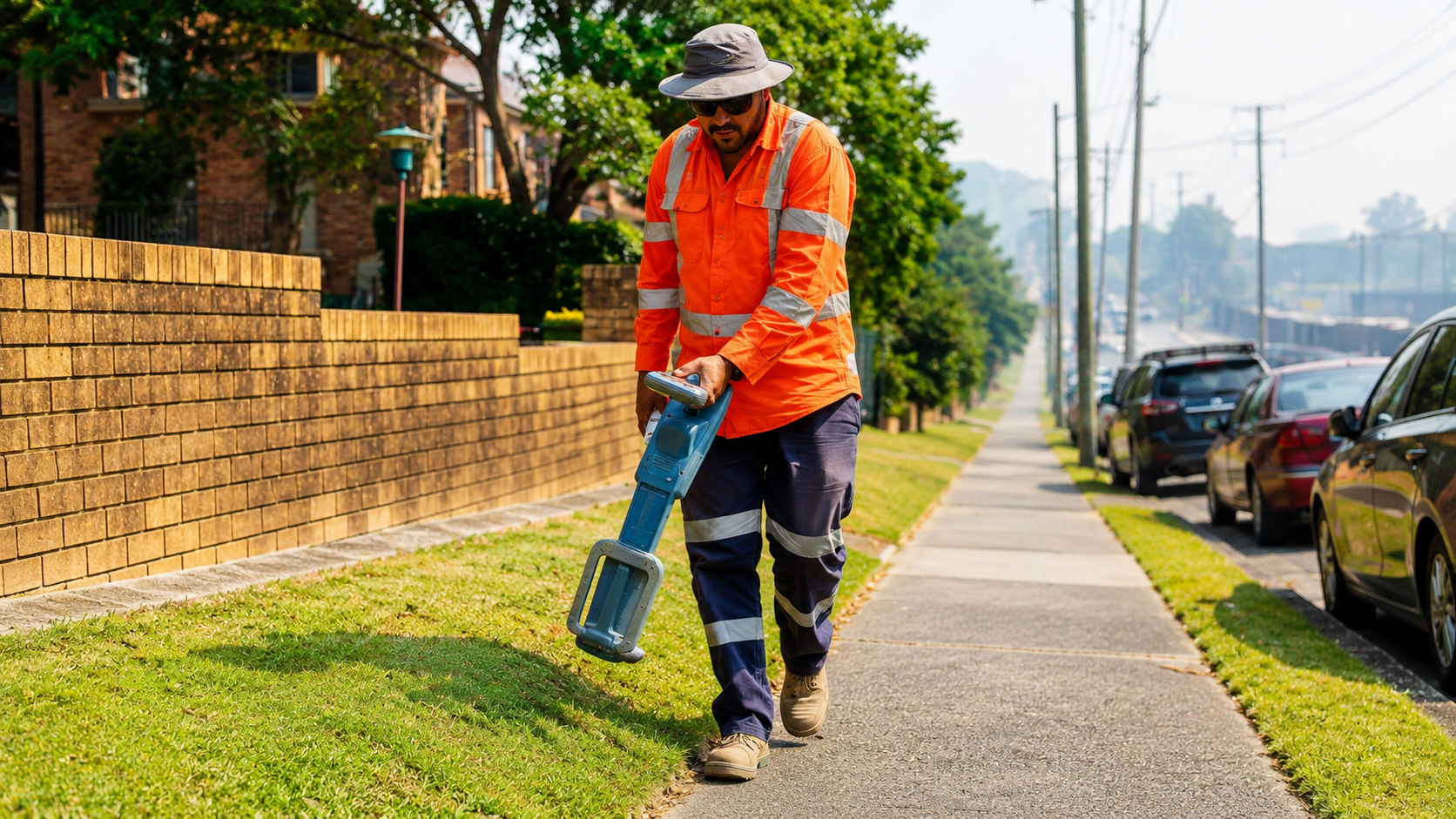
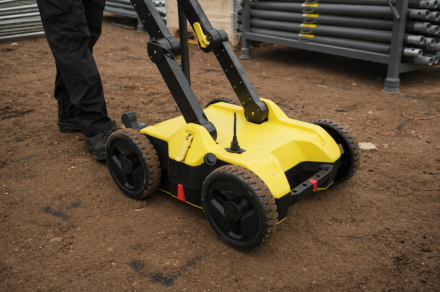
Our Service Area?
Charleston
Columbia
North Charleston
Mount Pleasant
Rock Hill
Greenville
Summerville
Goose Creek
Sumter
Florence
Spartanburg
Hilton Head Island
Myrtle Beach
Greer
Aiken
Anderson
Bluffton
Fort Mill
Lexington
Easley
Greenwood
Simpsonville
Mauldin
Conway
Hanahan
North Augusta
Cayce
West Columbia
Orangeburg
Beaufort
Gaffney
Newberry
Clemson
Seneca
Irmo
Moncks Corner
Hartsville
Clinton
Laurens
Camden
Georgetown
Lake City
Bennettsville
Marion
Dillon
Walterboro
Lancaster
York
Tega Cay
Fountain Inn
Travelers Rest
Port Royal
Surfside Beach
Garden City
Isle of Palms
Sullivan's Island
Kiawah Island
Hollywood
Lyman
Duncan
Our Reviews
What Our Customers Have to Say About Us!
Excellent service from start to finish. The team was professional, responsive, and very accurate with the utility locating. They helped us avoid potential underground line damage before excavation.

We needed GPR scanning and underground utility mapping for a commercial project. The results were clear, detailed, and delivered on time. Highly recommended for reliable utility locating services.
Very professional and easy to work with. They clearly marked the underground utilities and explained everything we needed to know before construction started. Great service and communication.
FREQUENTLY ASKED QUESTIONS
What is utility locating?
Utility locating is the process of identifying and marking underground pipes, cables, conduits, and other buried infrastructure before excavation, drilling, or construction begins.
Why is private utility locating important?
Private utility locating helps identify privately owned underground lines that may not be covered by public locating services, reducing the risk of damage, delays, and unexpected repair costs.
What types of utilities can you locate?
We can help locate many types of underground infrastructure, including water lines, electrical lines, communication cables, conduits, sewer lines, and other buried systems.
What is GPR scanning used for?
Ground Penetrating Radar (GPR) is used to detect subsurface objects, utilities, voids, rebar, conduits, and other hidden features without damaging the surface.
Do you provide utility locating services across South Carolina?
Yes. We provide utility locating, mapping, GPR scanning, concrete scanning, and utility marking services throughout South Carolina for residential, commercial, and construction projects.
Request A Free Quote
BUSINESS
SERVICES
SERVICE AREAS
OPERATING HOURS
Sun: Closed
Mon: 7:00am - 7:00pm
Tue: 7:00am - 7:00pm
Wed: 7:00am - 7:00pm
Thu: 7:00am - 7:00pm
Fri: 7:00am - 7:00pm
Sat: 7:00am - 7:00pm